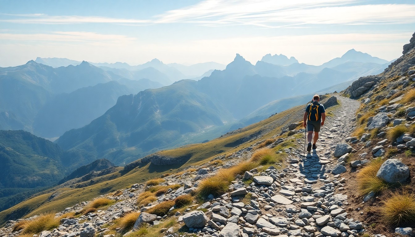
The full GR10 traverse unfolds over 45 to 60 stages depending on your pace and chosen variants. This guide presents the classic stages as described in the official Rando Éditions trail guides, organised into 5 geographical sections.
Reading note: durations are for an average hiker (4 km/h on flat terrain, 300 m elevation gain per hour). Fast hikers: subtract 20%. Beginners: add 30%.
SECTION 1 — Basque Country
Hendaye → Saint-Jean-Pied-de-Port | ~170 km | 7–9 stages
| Stage | From → To | Km | D+ | Time | Accommodation |
|---|---|---|---|---|---|
| 1 | Hendaye → Biriatou | 9 km | 500 m | 3h | Gîte Biriatou |
| 2 | Biriatou → Sare | 18 km | 850 m | 6h | Gîte/hotel Sare |
| 3 | Sare → Ainhoa | 16 km | 700 m | 5h30 | Gîte Ainhoa |
| 4 | Ainhoa → Bidarray | 18 km | 800 m | 6h | Gîte Bidarray |
| 5 | Bidarray → Saint-Étienne-de-Baïgorry | 25 km | 900 m | 7h30 | Gîte/hotel |
| 6 | Saint-Étienne-de-Baïgorry → Saint-Jean-Pied-de-Port | 22 km | 700 m | 7h | Many gîtes |
Highlights: Ainhoa (Most Beautiful Villages of France), Kakuetta gorge, arrival at Saint-Jean-Pied-de-Port, crossroads of the Camino de Santiago.
SECTION 2 — Béarn
Saint-Jean-Pied-de-Port → Arrens-Marsous | ~160 km | 7–9 stages
| Stage | From → To | Km | D+ | Time | Accommodation |
|---|---|---|---|---|---|
| 7 | Saint-Jean-Pied-de-Port → Logibar | 28 km | 1,500 m | 9h | Gîte Logibar |
| 8 | Logibar → Sainte-Engrâce | 16 km | 800 m | 5h30 | Gîte/campsite |
| 9 | Sainte-Engrâce → Arette-Pierre-Saint-Martin | 18 km | 1,200 m | 7h | Gîte |
| 10 | Arette → Lescun | 20 km | 900 m | 7h | Gîte Lescun |
| 11 | Lescun → Borce | 14 km | 600 m | 5h | Gîte Borce |
| 12 | Borce → Gabas | 22 km | 1,100 m | 8h | Gîte Gabas |
| 13 | Gabas → Gourette | 20 km | 1,400 m | 8h | Residence Gourette |
| 14 | Gourette → Arrens-Marsous | 28 km | 1,200 m | 9h | Gîte Arrens |
Highlights: Kakuetta gorges, Cirque de Lescun, Lac de Bious-Artigues with views of Pic du Midi d’Ossau (2,884 m), Col d’Aubisque (Tour de France landmark).
SECTION 3 — Hautes-Pyrénées ⭐ The most spectacular
Arrens-Marsous → Bagnères-de-Luchon | ~200 km | 10–13 stages
| Stage | From → To | Km | D+ | Time | Accommodation |
|---|---|---|---|---|---|
| 15 | Arrens-Marsous → Cauterets | 22 km | 1,200 m | 8h | Hotels/gîtes Cauterets |
| 16 | Cauterets → Luz-Saint-Sauveur | 26 km | 1,100 m | 8h30 | Gîtes/hotels Luz |
| 17 | Luz → Barèges | 12 km | 700 m | 4h30 | Gîte Barèges |
| 18 | Barèges → Refuge de la Glère | 18 km | 1,300 m | 7h | CAF hut |
| 19 | Refuge Glère → Refuge Espuguettes | 20 km | 1,400 m | 8h | CAF hut |
| 20 | Refuge Espuguettes → Gavarnie | 10 km | -800 m | 3h30 | Gîtes/hotels Gavarnie |
| 21 | Gavarnie → Refuge de Barroude | 22 km | 1,600 m | 9h | CAF hut |
| 22 | Refuge Barroude → Aragnouet | 18 km | 400 m | 6h | Gîte |
| 23 | Aragnouet → Saint-Lary-Soulan | 24 km | 800 m | 8h | Hotels Saint-Lary |
| 24 | Saint-Lary → Viaduc de Mauhourat | 22 km | 1,200 m | 8h | Mountain hut |
| 25 | Viaduc → Bagnères-de-Luchon | 20 km | 600 m | 7h | Hotels Luchon |
Highlights:
- Cirque de Gavarnie (UNESCO) — the great waterfall at 422 m
- Brèche de Roland (2,807 m) — legendary natural breach in the rock wall
- Néouvielle massif — turquoise mountain lakes, exceptional wildlife
- Saint-Lary-Soulan — full resupply stop with thermal spa
Mountain huts: book 2–3 months in advance in July–August for CAF huts (Espuguettes, Barroude).
SECTION 4 — Haute-Garonne & Ariège
Bagnères-de-Luchon → Merens-les-Vals | ~180 km | 9–11 stages
| Stage | From → To | Km | D+ | Time | Accommodation |
|---|---|---|---|---|---|
| 26 | Bagnères-de-Luchon → Refuge de Maupas | 18 km | 1,400 m | 8h | CAF hut |
| 27 | Refuge Maupas → Fos | 16 km | 300 m | 5h30 | Gîte Fos |
| 28 | Fos → Refuge du Rulhe | 22 km | 1,300 m | 8h | Staffed hut |
| 29 | Refuge Rulhe → Aulus-les-Bains | 18 km | 400 m | 6h | Hotels/gîtes Aulus |
| 30 | Aulus-les-Bains → Refuge de Bassiès | 16 km | 1,100 m | 6h | Staffed hut |
| 31 | Refuge Bassiès → Siguer | 20 km | 600 m | 7h | Gîte Siguer |
| 32 | Siguer → Refuge du Pinet | 18 km | 1,300 m | 7h30 | Staffed hut |
| 33 | Refuge Pinet → Merens-les-Vals | 16 km | 300 m | 5h | Gîte/campsite |
Highlights: Ars waterfall (105 m), Étang de Lers, Bear Country (Ariège), Aulus-les-Bains thermal spa.
SECTION 5 — Eastern Pyrenees
Merens-les-Vals → Banyuls-sur-Mer | ~160 km | 8–10 stages
| Stage | From → To | Km | D+ | Time | Accommodation |
|---|---|---|---|---|---|
| 34 | Merens → L’Hospitalet-près-l’Andorre | 16 km | 800 m | 6h | Gîte/hotel |
| 35 | L’Hospitalet → Refuge des Bésines | 18 km | 1,100 m | 7h | Staffed hut |
| 36 | Refuge Bésines → Porté-Puymorens | 14 km | 500 m | 5h | Gîte |
| 37 | Porté-Puymorens → Font Romeu | 22 km | 900 m | 7h30 | Hotels Font Romeu |
| 38 | Font Romeu → Refuge des Camporells | 20 km | 1,000 m | 7h | Staffed hut |
| 39 | Refuge Camporells → Mantet | 16 km | 400 m | 5h30 | Gîte Mantet |
| 40 | Mantet → Py | 12 km | 700 m | 4h30 | Gîte Py |
| 41 | Py → Refuge de Batère | 18 km | 1,100 m | 7h | Hut |
| 42 | Refuge Batère → Banyuls-sur-Mer | 24 km | 400 m | 8h | Hotels Banyuls |
Highlights: Carlit massif (2,921 m), Font Romeu full resupply stop, Catalan villages of Mantet and Py, arrival at Banyuls-sur-Mer — diving into the Mediterranean after 866 km of walking.
Planning your traverse
How long does it take?
| Pace | Stages/day | Total duration |
|---|---|---|
| Leisurely | 1 short stage | 55–60 days |
| Classic | 1 standard stage | 45–50 days |
| Sporty | Long stages | 38–42 days |
Daily budget
| Item | Gîtes budget | Bivouac budget |
|---|---|---|
| Accommodation | €20–30 | €0–8 |
| Evening meal | €12–18 | €5–8 |
| Breakfast | €6–10 | €2–3 |
| Resupply | €8–12 | €12–18 |
| Total/day | ~€50–70 | ~€20–37 |
Essential apps and resources
- IGNrando — offline IGN 1:25,000 maps, GR10 GPS tracks
- Komoot — GPS navigation, stage elevation profiles
- Gites-refuge.com — online booking for trail lodges
- Météo-France — 7-day forecast by mountain massif